Advertisement
Boston should expect 12 to 19 days of high-tide flooding next year, per NOAA

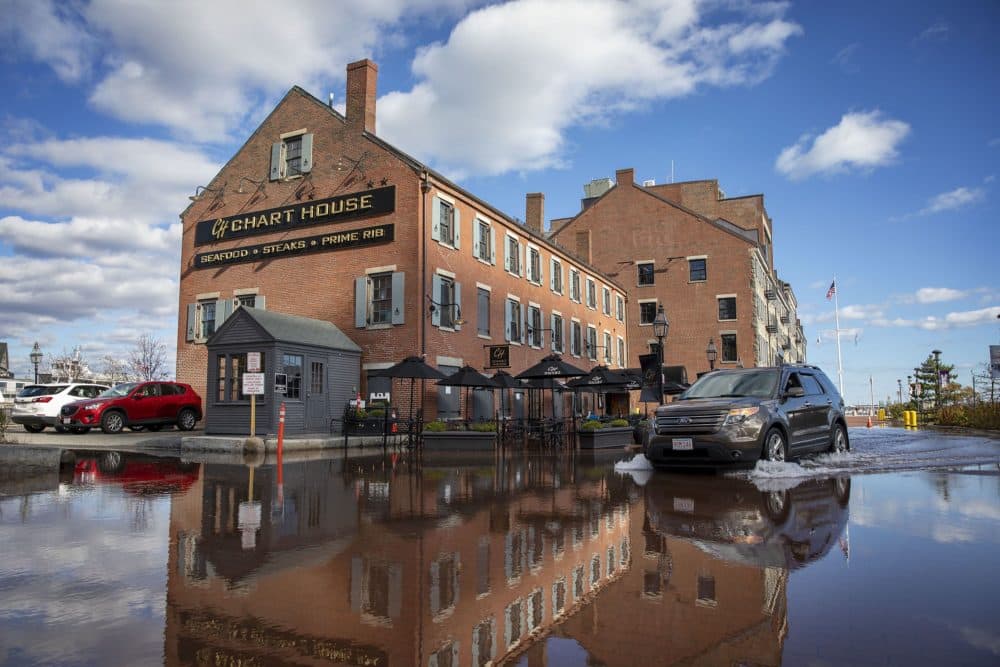
Boston had 19 days of high-tide flooding last year and can expect 12 to 19 days next year — more than any other city in the Northeast. That's according to an annual report released Wednesday by the National Oceanic and Atmospheric Administration (NOAA).
Sometimes called "nuisance" or "sunny-day" flooding, high-tide flooding occurs when tides reach about 2 feet above the daily average for high tide, and start spilling onto streets or bubbling up from storm drains.
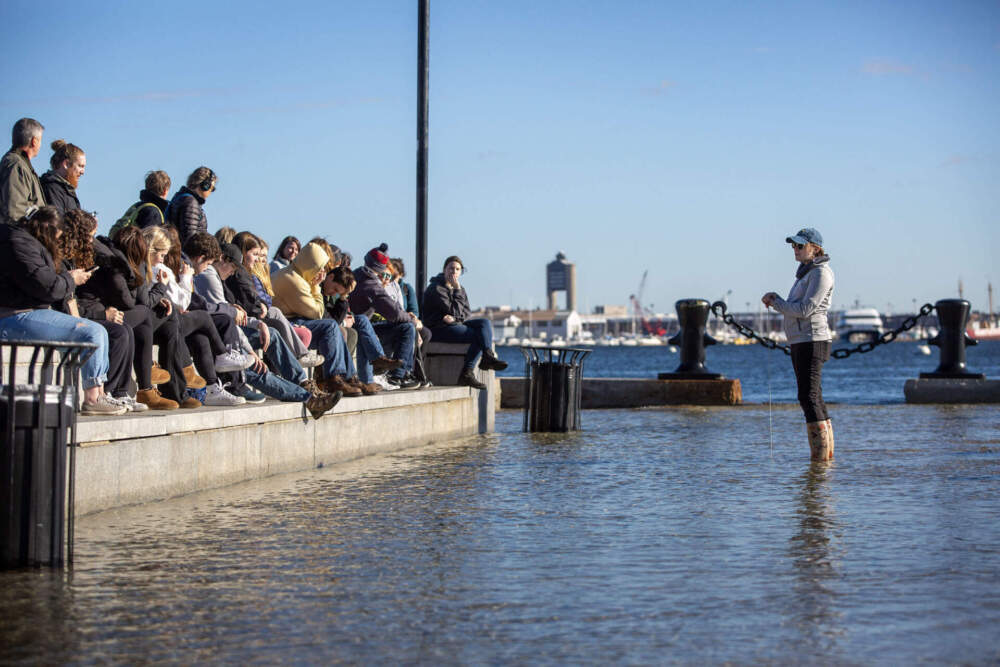
"The terms 'sunny-day' flooding and 'nuisance' flooding tend to make it sound like it's not a big deal, but it is," said Joe Christo, managing director at the Stone Living Lab at the University of Massachusetts, Boston. "It affects everything from traffic patterns and commuting to public transportation, to sometimes even building closures."
High-tide flooding endangers crucial infrastructure in and around Boston, including waste and stormwater systems, MBTA lines, roads like the frequently-flooded Morrissey Boulevard and low-lying areas like Long Wharf and East Pier Drive in East Boston.
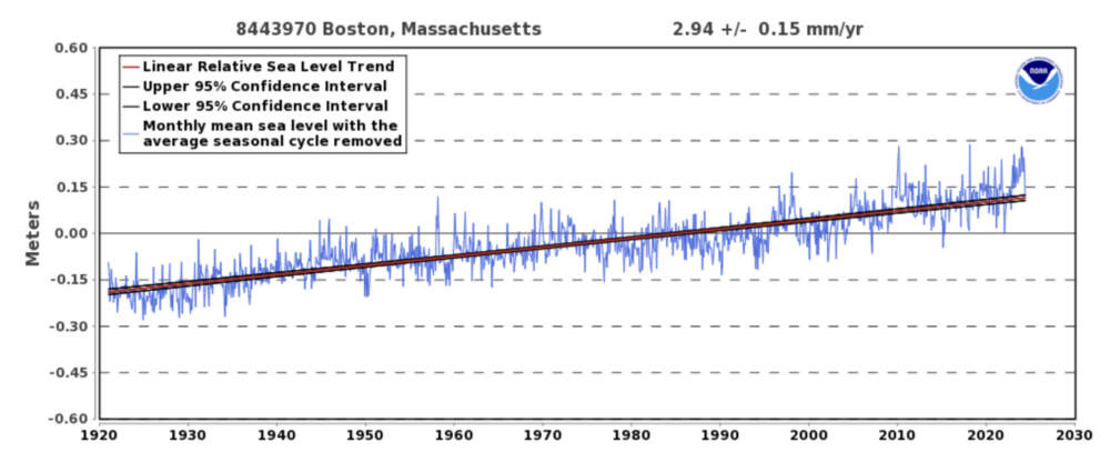
The number of days with high-tide flooding have increased in Boston in recent years, largely due to rising sea levels driven by human-caused climate change. The sea level around Boston has risen almost a foot over the last century and is now rising close to 1/8 inch each year. By mid-century, Boston will likely see 50 to 70 days of high-tide flooding each year, according to NOAA.

"Understanding when and how it's going to happen is essential as cities are pursuing their climate adaptation plans," said Christo, whose lab works with the city of Boston to collect real-time data on water conditions around Boston Harbor.
Some areas of the country are expected to see fewer days of high-tide flooding next year, as the cyclical climate pattern known as El Niño transitions into La Niña. However, these climate patterns usually have little effect on flooding in the Northeast, according to NOAA oceanographer William Sweet.
"The Boston area is not so sensitive to El Niño-La Niña," Sweet said. "The real driver is sea level rise."
The Northeast experienced an average of 13 flood days last year and five cities in the Northeast set or tied records: Bar Harbor, Maine (19 days), Providence, Rhode Island (15 days), Bridgeport, Connecticut (16 days), and Kings Point, New York. Kings Point saw a whopping 23 days of sunny-day flooding last year, the highest number in the region.

"Essentially, we expect records to be broken pretty much every year," Sweet said. "That's been the trend."
High-tide flooding hits the Northeast hard because the region has wide tidal ranges that lead to exceptionally high and low tides. The region also experiences coastal winds that pile up water over the wide, shallow continental shelf. The Northeast now has about six more high-tide flood days per year than in the year 2000.
NOAA has also predicted an above-normal 2024 Atlantic hurricane season, which increases the risk of significant flooding along the Atlantic coast. There have been two tropical storms and two hurricanes in 2024 so far.
